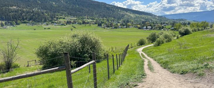
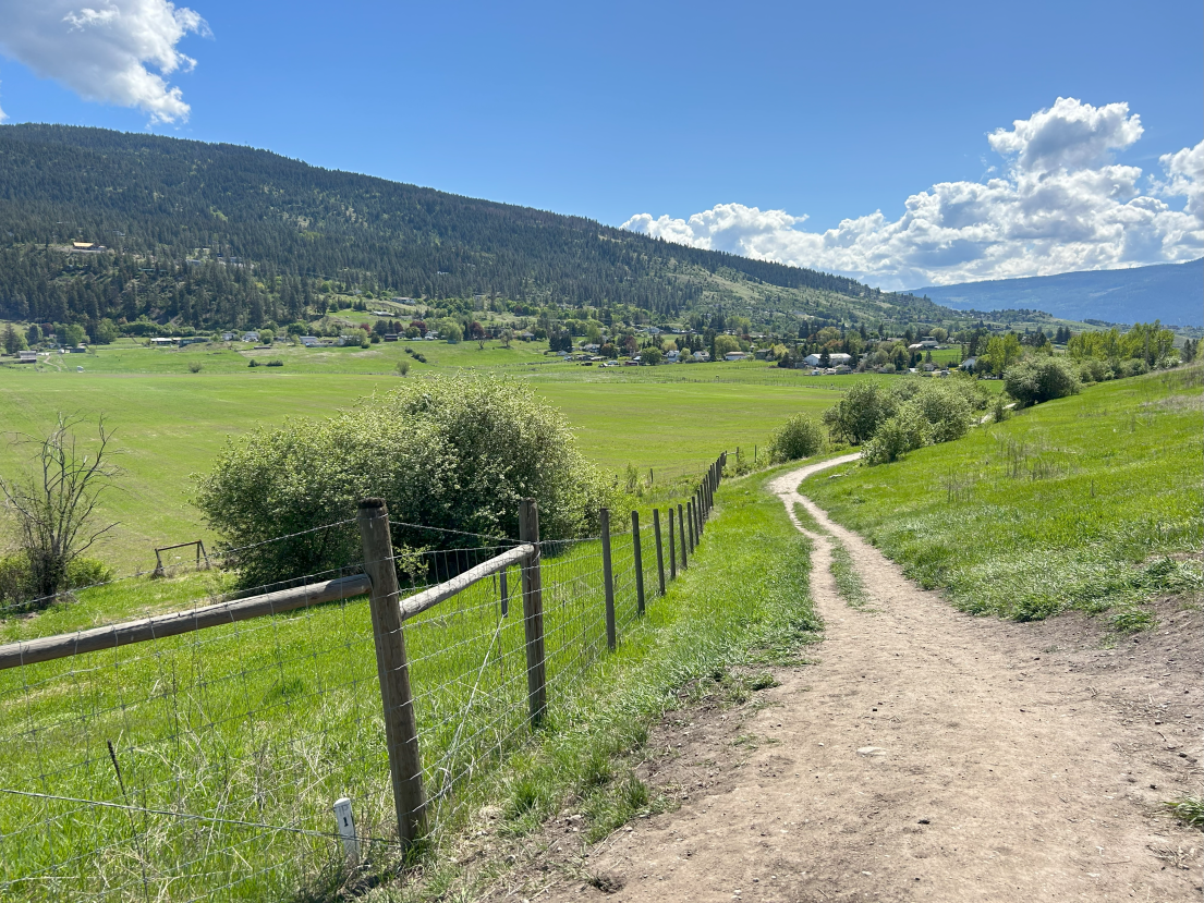
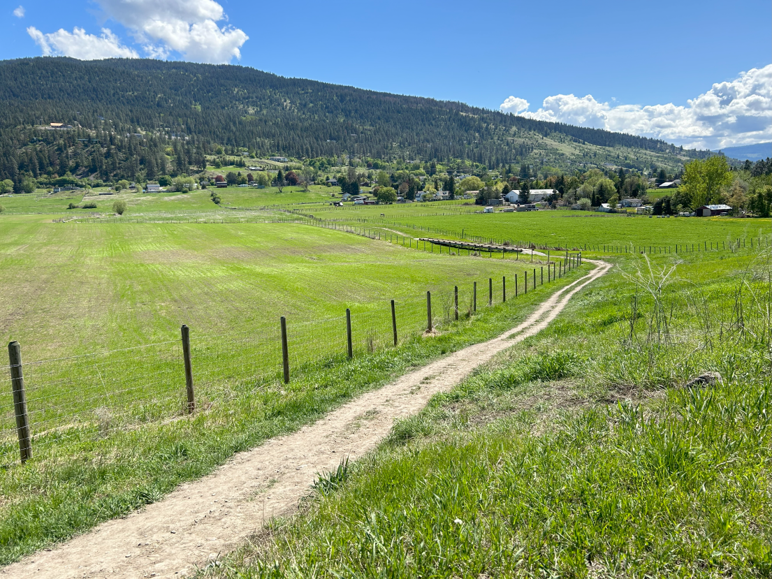
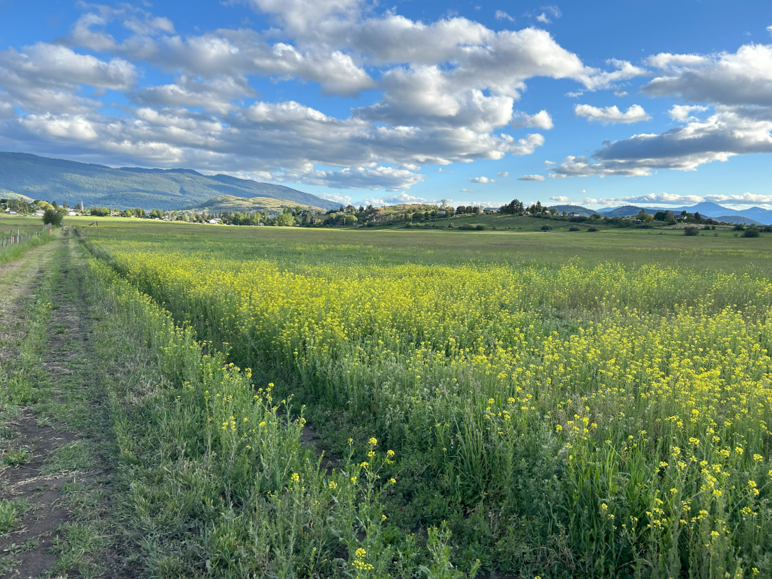
Located on the ancestral and unceded lands of the Syilx/Okanagan people, the sncəcmałqtn Agricultural Park is a 132-acre property in the BX area of the RDNO Electoral Area C. An additional 35-acre park property surrounds the Agricultural Park on three sides, which is home to the BX Ranch Trail, which connects this Agricultural Park, Mutrie Park, and BX Dog Park. The site is ecologically diverse, containing habitat areas that support a mix of forage crops, native vegetation, and wildlife. It has historically been referred to as the "BX Ranchlands", but a desire to rename the site to align with the Syilx territory it resides on was identified. In consultation with the Okanagan Indian Band, the agricultural park has been renamed as sncəcmałqtn Agricultural Park, which translates to "place of small crops or garden".
Listen to the Park name Pronunciation
Access to the park can be found at 4122 East Vernon Road.
Agricultural Land Licence Opportunities are available on this site.
- Small plot licences - 1/4 acres
- Medium plot licences - 1 acre
- Large plot licences - size negotiable
From the BX Ranchlands Development Plan:
The BX Ranchlands Development Plan outlines the planning process and design for BX Ranchlands property in the Regional District of the North Okanagan, a 132 acre parcel in the Agriculture Land Reserve that has historically been used for agriculture. It was recently purchased by Electoral Areas B and C to preserve it for agriculture and community uses, after a perimeter trail was created. The Institute for Sustainable Food Systems at Kwantlen Polytechnic University (KPU ISFS) and the Land to Table Network of the North Okanagan (L2T) collaborated to undertake a planning process between October 2021 and June 2022, that included significant community and stakeholder engagement. The resultant plan includes a five-year site development plan, budgets and governance structure, and makes recommendations for an implementation strategy and long-term management of the site. Additional reports detail the findings of the site assessment and community engagement components of the project.
With fertile agricultural soils across the majority of the site, and with improvements to existing irrigation infrastructure, the site has the potential to support a range of agricultural activities. Key areas are also very important for wildlife habitat, including species at risk. Like other regions in the province, the North Okanagan agriculture sector faces high farmland prices and an aging farmer population, making access for new and young farmers both important and difficult. At the same time, ongoing discussions hosted by the L2T in the food system community have revealed a desire for farmer training and education opportunities in the region. Community interest and engagement in the site is high, and something the Regional District would like to continue to encourage. Simultaneously, the Okanagan Indian Band is undertaking complimentary work and a food security plan for their members.
The site plan for this project aims to improve access to land for new and expanding farmers, develop a community space that maintains passive recreation functions, connects Vernon's existing network of parks and open spaces, conserves natural habitats and wildlife spaces, and successfully integrates agriculture and education. Key activity area proposed for the site include habitat protection areas, with other uses occurring on the remaining lands. These uses include farmland leases, a community garden, a food forest and pollinator meadows, community farm, and research and teaching farm. The proposed site plan was deigned to align with project values created by the key stakeholders: ecological stewardship, local harvesting, agriculture, education and community building, underlain by a commitment to equity, reconciliation and decolonization.


